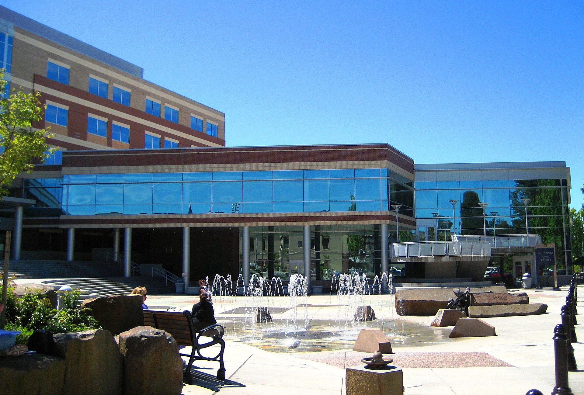
Hillsboro Civic Center and its public fountain plaza

Outdoors

Fishing near Hillsboro

Lakes, rivers and recreation areas near Hillsboro where fishing is allowed, closest first.

22places to fish
15 mito the closest
2within 30 miles

Good to know: Anyone 16 or older generally needs a state fishing license; seasons, limits and special rules vary by water. Oregon license information ↗

Closest picks

1

Henry Hagg Lake

15 mi west · Bureau of Reclamation

Henry Hagg Lake was formed by the construction of Scoggins Dam which is a major facility of the Tualatin Project . The lake has a capacity of nearly 60,000 acre-feet of water and a surface area of 1,113 acres.

2

Dovre Recreation Site

30 mi southwest · Bureau of Land Management

Want to camp? Camping season is generally May-September, with Alder Glen and Elk Bend remaining open through the weekend following General Western Oregon Coast 2nd Season for elk.

3

Sandy Wild and Scenic River

31 mi east · Bureau of Land Management

The Sandy River originates in the high glaciers of Mt. Hood, the most prominent peak in Oregon's Cascade Mountains.

Map of all 22 places

Map of 22 places loads as you scroll.

Within 30 miles (2)

15 mi west · Bureau of Reclamation

Henry Hagg Lake

Henry Hagg Lake was formed by the construction of Scoggins Dam which is a major facility of the Tualatin Project . The lake has a capacity of nearly 60,000 acre-feet of water and a surface area of 1,113 acres.

  • Biking
  • Boating
  • Fishing
  • Hiking
  • Picnicking
  • Water sports
  • Wildlife viewing

30 mi southwest · Bureau of Land Management · Campground

Dovre Recreation Site

Want to camp? Camping season is generally May-September, with Alder Glen and Elk Bend remaining open through the weekend following General Western Oregon Coast 2nd Season for elk.

  • Camping
  • Fishing
  • Picnicking
  • Swimming
  • Wildlife viewing

30 to 75 miles (20)

31 mi east · Bureau of Land Management

Sandy Wild and Scenic River

The Sandy River originates in the high glaciers of Mt. Hood, the most prominent peak in Oregon's Cascade Mountains.

  • Biking
  • Camping
  • Fishing
  • Hiking
  • Nature education

32 mi southwest · Bureau of Land Management · Campground

Fan Creek Recreation Site

Want to camp? Camping season is generally May-September, with Alder Glen and Elk Bend remaining open through the weekend following General Western Oregon Coast 2nd Season for elk.

  • Camping
  • Fishing
  • Photography
  • Water Access
  • Wildlife viewing

34 mi southwest · Bureau of Land Management · Campground

Elk Bend Recreation Site

Want to camp? Camping season is generally May-September, with Alder Glen and Elk Bend remaining open through the weekend following General Western Oregon Coast 2nd Season for elk.

  • Camping
  • Fishing
  • Photography
  • Water Access
  • Wildlife viewing

34 mi southwest · Bureau of Land Management

Nestucca River Recreation Area

Want to go camping? Camping season is generally May-October. Reserve a site at one of our four campgrounds on recreation.gov or pay when you arrive for non-reserved campsites using the Recreation.gov Mobile App .

  • Biking
  • Boating
  • Camping
  • Climbing
  • Fishing
  • Hiking
  • Paddling
  • Photography

38 mi southeast · Bureau of Land Management

Molalla

Enjoy a scenic drive along the Molalla River, which offers easy river access and opportunities for picnicking, swimming, camping, whitewater boating and fishing.

  • Camping
  • Fishing
  • Hiking
  • Photography
  • Picnicking
  • Swimming

38 mi southwest · USDA Forest Service · Campground

Rocky Bend Group Campground

Nestled on the banks of the Nestucca River, Rocky Bend Group Campground is ideal for family gatherings and group events. The site is located on Upper Nestucca River Road 16 miles east of Beaver, Oregon.

  • Biking
  • Camping
  • Fishing
  • Hiking
  • Water Access

40 mi southeast · Bureau of Land Management · Campground

Cedar Grove Campground

No cash, check, or cards are accepted on site. Make a reservations online or use the mobile app. Cedar Grove campsites are only available by making a reservation .

  • Biking
  • Camping
  • Fishing
  • Photography
  • Swimming
  • Water Access
  • Wildlife viewing

40 mi southeast · Bureau of Land Management · Campground

Three Bears Campground

No cash, check, or cards are accepted on site. Make a reservations online or use the mobile app. Three Bears campsites are only available by making a reservation.

  • Biking
  • Camping
  • Fishing
  • Hiking
  • Photography
  • Swimming
  • Wildlife viewing

42 mi southeast · Bureau of Land Management

Clackamas Wild and Scenic River

The Clackamas River is located to the west of the Cascade Range and to the south of the Columbia River Gorge in northern Oregon.

  • Accessible Facility Or Activity
  • Biking
  • Fishing
  • Hiking

42 mi southeast · Bureau of Land Management

South Fork Clackamas Wild and Scenic River

The South Fork of the Clackamas River is a tributary of the Clackamas River on the western slope of the Cascade Range in northwest Oregon.

  • Fishing
  • Hiking
  • History
  • Photography
  • Wildlife viewing

46 mi southeast · USDA Forest Service · Campground

Armstrong

Armstrong Campground is a small but beautiful place to camp, right on the edge of the Clackamas Wild and Scenic River.

  • Biking
  • Boating
  • Camping
  • Fishing
  • Hiking
  • Water sports
  • Wildlife viewing

46 mi southwest · USDA Forest Service · Campground

Hebo Lake Campground

Hebo Lake Campground is ideal for those wanting a secluded, quiet camping getaway in the forest. Located on Mt.

  • Camping
  • Fishing
  • Hiking
  • History
  • Non-Motorized Boating

47 mi east · Bureau of Land Management

Salmon Wild and Scenic River

Only an hour's drive from Portland, Oregon, the clear water of the Salmon River cascades over numerous waterfalls in the Salmon-Huckleberry Wilderness before reaching its lower forested canyons.

  • Biking
  • Fish Viewing Site
  • Fishing
  • Ranger programs
  • Wildlife viewing

48 mi east · Bureau of Land Management · Campground

Wildwood Recreation Site

Wildwood Recreation Site is open year-round but may close due to vehicle access during severe weather. Check status during severe weather events by calling 503-375-5646.

  • Backpacking
  • Berry Picking
  • Biking
  • Birding
  • Camping
  • Fish Viewing Site
  • Fishing
  • Hiking

54 mi northwest · Fish and Wildlife Service

Julia Butler Hansen Refuge for the Columbian White-Tailed Deer

Julia Butler Hansen Refuge was established in 1971 specifically to protect and manage the then endangered Columbian white-tailed deer.

  • Biking
  • Birding
  • Boating
  • Fishing
  • Hiking
  • Hunting
  • Motor Boat
  • Nature education

54 mi southeast · USDA Forest Service

Test Forest

Niloo testing 6/6/19 Niloo testing link to a not-classified page Jusin testing link to a non-classified page under recreation node Testing doc 20 acres of pristine forest. Niloo testing 12/17/18 Marty testing 8/20/19

  • Biking
  • Camping
  • Climbing
  • Fishing
  • Picnicking

55 mi southwest · Fish and Wildlife Service

Nestucca Bay National Wildlife Refuge

At 1,202 acres, Nestucca Bay Refuge is the largest of the six Oregon Coastal Refuges.

  • Birding
  • Fishing
  • Hiking
  • Hunting
  • Non-Motorized Boating
  • Photography
  • Picnicking
  • Wildlife viewing

56 mi southeast · Bureau of Land Management

Elkhorn Creek Wild and Scenic River

Elkhorn Creek is a unique, pristine, low-elevation setting, with limited access, providing a landscape with few signs of human disturbance or activity.

  • Accessible Facility Or Activity
  • Fishing
  • Hiking

57 mi south · Bureau of Land Management

Fishermen's Bend Recreation Area

Surrounded by the tranquility of the North Santiam River, Fishermen's Bend has something for everyone. This full-service campground offers hot showers, fire pits, picnic tables, and water and electricity hook-ups for RV's.

  • Boating
  • Camping
  • Fishing
  • Picnicking
  • Ranger programs

57 mi northeast · USDA Forest Service

Gifford Pinchot National Forest

.

  • Biking
  • Boating
  • Camping
  • Fire Lookouts/Cabins Overnight
  • Fishing
  • Hiking
  • Horse Camping
  • Horseback riding

Distances are straight-line miles from downtown Hillsboro. Listings come from Recreation.gov’s federal recreation database; check each official page for hours, fees, fire restrictions and closures before you go.

Get outside around Hillsboro

Hillsboro, Oregon (Orenco Station, Downtown) 4K Walking Tour Binaural Audio video thumbnail

A WALK AROUND TOWN

Hillsboro, Oregon (Orenco Station, Downtown) 4K Walking Tour Binaural Audio

A recorded walk through Orenco Station and downtown Hillsboro, showing neighborhood streets and civic surroundings.

Watch on YouTube ↗
Walking Tour of "The Streets of Tanasbourne" in Hillsboro, Oregon video thumbnail

A WALK AROUND TOWN

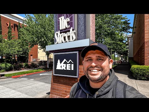
Walking Tour of "The Streets of Tanasbourne" in Hillsboro, Oregon

A creator-led walk around the Streets of Tanasbourne shopping area in Hillsboro.

Watch on YouTube ↗

More outdoors near Hillsboro

Questions

Where is the closest place for fishing near Hillsboro?

Henry Hagg Lake (Bureau of Reclamation), about 15 miles west of Hillsboro as the crow flies. Next are Dovre Recreation Site (30 mi) and Sandy Wild and Scenic River (31 mi).

Do I need a fishing license near Hillsboro?

Yes, anglers 16 and older generally need a Oregon fishing license from the state wildlife agency. Rules, seasons and limits vary by water.

Who manages these places?

Federal agencies including Bureau of Land Management, USDA Forest Service, Fish and Wildlife Service. Each listing links to its official page for hours, fees, closures and current conditions.

Hillsboro AI

Your Hillsboro local guide
Hey there!

I'm Hillsboro AI. Ask about neighborhood food, independent shops, local history or planning a visit.

AI recommendations may be inaccurate. Verify hours and prices. Questions are processed by Cloudflare. Privacy